
E-Learning Resources - UWM
UWM Modules
-
Introduction to data collection module
Meticulous data collection lays solid foundation for effective and sustainable used water management planning. This video is the introduction to the data collection module which comprises of following sessions:1.1 Stakeholder mapping and engagement1.2 Secondary data collection and review1.3 Reconnaissance survey1.4 Primary data collection
-

Stakeholder mapping and engagement
In this session, we delve into the fundamentals of stakeholder engagement, exploring who stakeholders are, the importance of engaging them, and methodologies for effective mapping and interaction. We will also understand the process of mapping and engaging with stakeholders for used water management planning through a case study of a town. Stakeholder mapping is generally the first step of data collection exercise.
-

Secondary data collection and review
In this session, we look at importance of collecting and reviewing secondary data, what are the data points one should review for used water management planning, possible sources of secondary data, and how to analyse the collected data. We will also look at the limitations of the secondary data. Secondary data collection and review is generally done along with stakeholder mapping or post that.
-

Reconnaissance survey
In this session, we will look at what is a reconnaissance survey, why is it required, how should one carry out a reconnaissance survey and what are the expected outcome of a reconnaissance survey. It is generally done post secondary data collection and review.
-

Primary data collection
In this session, we will look at why do we need to collect primary data, data sets necessary for used water management planning, methods of data collection and expected outputs from the data collection exercise. Two broad methods of data collection discussed in the video are - 1) Field Surveys and Interviews and 2) Field Observations and Measurement.
-
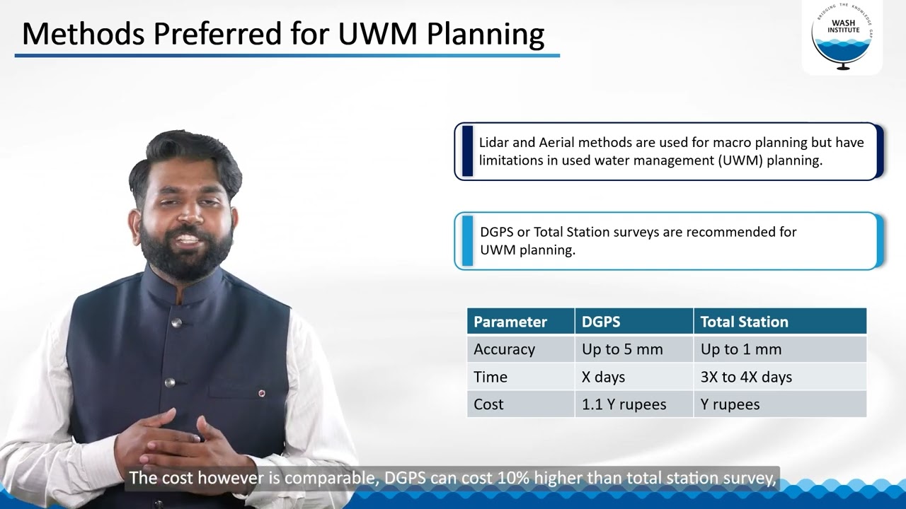
Topography survey
In this session, we learn what is a topographic survey & why do we need to conduct one, different types of topographic surveys, the survey suitable for usedwater management planning and the expected output of a topographic survey.
-

Physical measurement of flow in drains
In this session, we understand why it is important to measure flow of used water in drains, what are the different methods to do so, what are the expected outcomes from this and what are the tools available to the viewer to calculate the flow.
-

Analysing quality of used water and faecal sludge
In this session, we will look at importance of analysis of used water and faecal sludge, how to go about sampling and testing, what all parameters should be tested and the tools available for the analysis.
-
Introduction to data interpretation and gap analysis module
Once the relevant data is collected, it is important to interpret and analyse it to assess the gaps in used water management service delivery. This video acts as the introduction to the next module on 'Data Interpretation and Gap Analysis'. It comprises of following sessions:2.1 Population projection2.2 Estimation of used water generation2.3 Estimation of faecal sludge generation2.4 Assessment of public health risk
-

Population projection
In this session, we will look at various methods of population projections, why should we project population for used water management planning, and how to choose the suitable method of projection for a given town. There are three proposed methods, that one can use, namely 1) Arithemeatic increase method; 2) Incremental increase method and 3) Geometric increase method.
-

Estimation of used water generation
In this session, we will look at why it is necessary to estimate the used water generation in a town, factors affecting the generation, how to estimate the used water generation, how to estimate the break up of used water based on its source and disposal practices followed in the town.
-
Estimation of faecal sludge generation
In this session, we will look at what is faecal sludge, why it is necessary to estimate the faecal sludge generation in a town and different methods of estimating the faecal sludge generation.
-
Assessment of public health risk
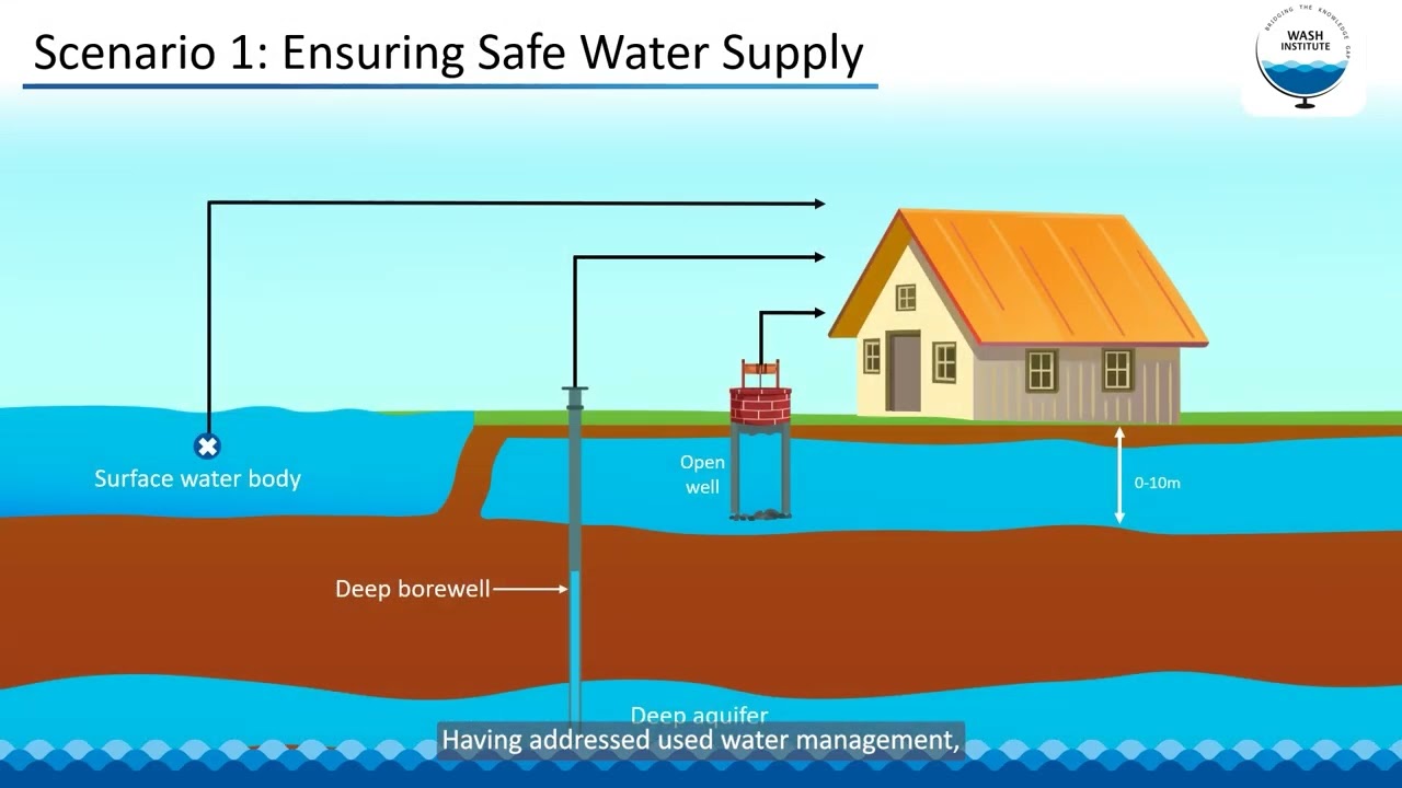
In this session, we will look at an approach for improving used water management of the town based on the assessment of public health risk caused by sanitation systems. We will also look at how to identify the risks caused due to inadequate sanitation and what are the potential barriers that can be introduced to mitigate the public health risk.
-

Geographic Information System in Sanitation Planning
In this module, we will learn what is a Geographic Information System (GIS), its key features and attributes, examine its role throughout the sanitation value chain and how it can be utilised for effective analysis and planning.
-
WASH and Climate Change
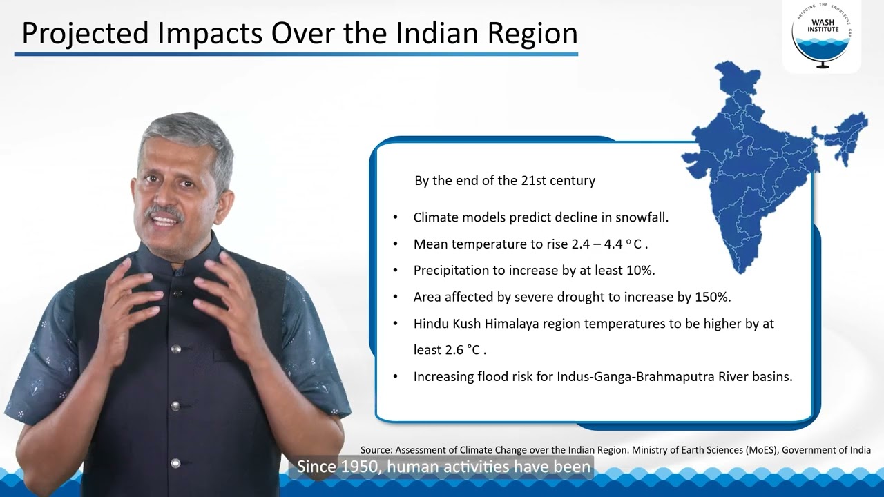
In this module, we will learn about climate change and its effects on water and sanitation infrastructure and service delivery and what are the strategies that can be taken up to adapt and mitigate the impacts of climate change.
-
Introduction to data collection module Meticulous data collection lays solid foundation for effective and sustainable used water management planning. This video is the introduction to the data collection module which comprises of following sessions:1.1 Stakeholder mapping and engagement1.2 Secondary data collection and review1.3 Reconnaissance survey1.4 Primary data collection

-
Stakeholder mapping and engagement In this session, we delve into the fundamentals of stakeholder engagement, exploring who stakeholders are, the importance of engaging them, and methodologies for effective mapping and interaction. We will also understand the process of mapping and engaging with stakeholders for used water management planning through a case study of a town. Stakeholder mapping is generally the first step of data collection exercise.
-
Secondary data collection and review In this session, we look at importance of collecting and reviewing secondary data, what are the data points one should review for used water management planning, possible sources of secondary data, and how to analyse the collected data. We will also look at the limitations of the secondary data. Secondary data collection and review is generally done along with stakeholder mapping or post that.
-
Reconnaissance survey In this session, we will look at what is a reconnaissance survey, why is it required, how should one carry out a reconnaissance survey and what are the expected outcome of a reconnaissance survey. It is generally done post secondary data collection and review.
-
Primary data collection In this session, we will look at why do we need to collect primary data, data sets necessary for used water management planning, methods of data collection and expected outputs from the data collection exercise. Two broad methods of data collection discussed in the video are - 1) Field Surveys and Interviews and 2) Field Observations and Measurement.
-
Topography survey In this session, we learn what is a topographic survey & why do we need to conduct one, different types of topographic surveys, the survey suitable for usedwater management planning and the expected output of a topographic survey.
-
Physical measurement of flow in drains In this session, we understand why it is important to measure flow of used water in drains, what are the different methods to do so, what are the expected outcomes from this and what are the tools available to the viewer to calculate the flow.
-
Analysing quality of used water and faecal sludge In this session, we will look at importance of analysis of used water and faecal sludge, how to go about sampling and testing, what all parameters should be tested and the tools available for the analysis.
-
Introduction to data interpretation and gap analysis module Once the relevant data is collected, it is important to interpret and analyse it to assess the gaps in used water management service delivery. This video acts as the introduction to the next module on 'Data Interpretation and Gap Analysis'. It comprises of following sessions:2.1 Population projection2.2 Estimation of used water generation2.3 Estimation of faecal sludge generation2.4 Assessment of public health risk
-
Population projection In this session, we will look at various methods of population projections, why should we project population for used water management planning, and how to choose the suitable method of projection for a given town. There are three proposed methods, that one can use, namely 1) Arithemeatic increase method; 2) Incremental increase method and 3) Geometric increase method.
-
Estimation of used water generation In this session, we will look at why it is necessary to estimate the used water generation in a town, factors affecting the generation, how to estimate the used water generation, how to estimate the break up of used water based on its source and disposal practices followed in the town.
-
Estimation of faecal sludge generation In this session, we will look at what is faecal sludge, why it is necessary to estimate the faecal sludge generation in a town and different methods of estimating the faecal sludge generation.
-
Assessment of public health risk In this session, we will look at an approach for improving used water management of the town based on the assessment of public health risk caused by sanitation systems. We will also look at how to identify the risks caused due to inadequate sanitation and what are the potential barriers that can be introduced to mitigate the public health risk.
-
Geographic Information System in Sanitation Planning In this module, we will learn what is a Geographic Information System (GIS), its key features and attributes, examine its role throughout the sanitation value chain and how it can be utilised for effective analysis and planning.
-
WASH and Climate Change In this module, we will learn about climate change and its effects on water and sanitation infrastructure and service delivery and what are the strategies that can be taken up to adapt and mitigate the impacts of climate change.